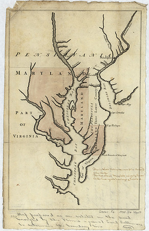
Maps of the Maryland-Pennsylvania boundary used as trial exhibits in the 1735 court suit brought by the Penns against Lord Baltimore to determine the official interprovincial boundary line
Image courtesy of the Library of Congress. Please note this image is purely for personal research, and prints have been disabled as a result.