Vintage Map - Maryland+
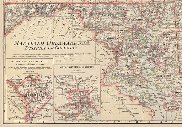
High resolution scan of a vintage map of Maryland, the District of Columbia [Washington DC], and Baltimore. Circa 1916.
While the original map also included Delaware to the East of Maryland, it was cut off unfortunately. This is pretty much how the map came when I purchased it as a single print, but it made me happy as I live in the great state of Maryland 😋