Thank you for your patience while we retrieve your images.
Home
Portfolio
Travel Photos
Blog
About
Contact
Home
»
Portfolio
»
Personal Research & Education
Thumbnails
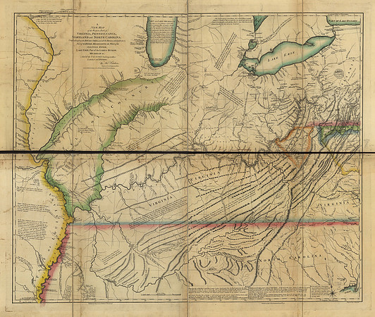
A new map of the western parts of Virginia, Pennsylvania, Maryland, and North Carolina [etc] (circa 1778)
Image courtesy of the
Library of Congress
.
Please note this image is purely for personal research, and prints have been disabled as a result.
© Library of Congress, Geography and Map Division